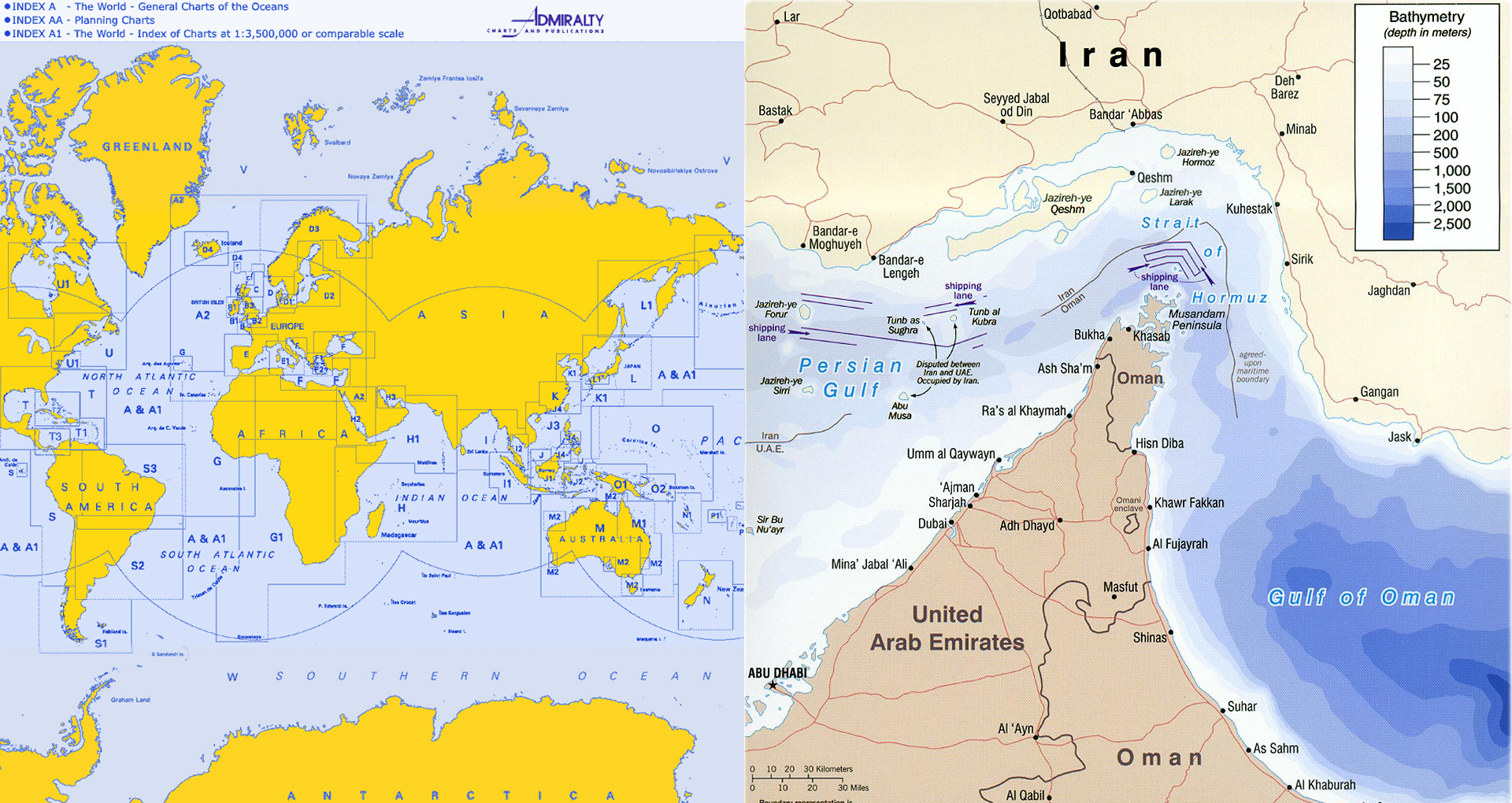
We supply nautical charts & publications essential for marine navigation. Our nautical charts are 100% up to date at the time of printing that shows depths of water & heights of land, natural features of the sea bed, details of the coastline, navigational hazards, locations of natural and man – made aids to navigation, information on tides and currents, details of Earths magnetic field and man-made structures such as harbors, buildings and bridges.

